18km walking the Ohope Cycling Trails
The Ohope Cycling Trails is a collection of trails in and around Ohope. I walked the Burma Road Cycling Track portion, which is roughly P-shaped and comprises most of the cycling trails, but there seems to be a couple of other trails in the area, although, looking at the map of trails, I am unsure about the Kohi Point one, because I am unaware of a cycling trail there (there is a walking trail along the coast, but it has many steps, and can be narrow in places, so is certainly not a cycling trail). While out today, I saw one runner, and 3 cyclists, so the trail was sparsely populated on a Monday afternoon.
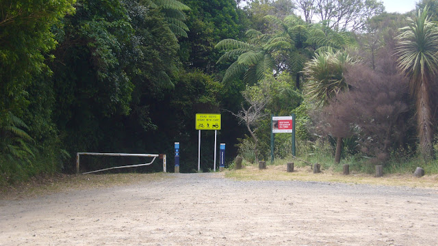
I drove up Burma road and parked at the point where the Mokoroa Bush Reserve and Ohope Reserve walking trails meet (I've walking those trails many times and posted about them here). You are unable to drive beyond this point.
Starting from here, I walked the approximate 1km back along the loose metal Burma Road to Ohope Road. I saw a cyclist and a runner heading in the opposite direction.
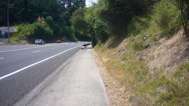
Then it was a 2km walk (predominantly downhill) into Ohope on the cycling track alongside the busy road.
Ohope is a smallish holiday community. It has 2 cafes, an intriguing looking Mexican restaurant (that I might have to come back to and try at some point after the summer craziness is over) and a Four Square (mini supermarket). There may be more places beyond the point where I turned off. At about the 4.2km mark I saw the same runner as earlier, who must have done just over 6km coming the other direction around the loop since I last saw them, which couldn't have been much faster than the pace I was achieving walking. It was a relatively straight 2km through the stacked baches of the community before veering off right onto Maraetotara Road.
Another 3km up this road brought me to the intersection with Burma Road. I saw the second cyclist doing the trail along here.
At this point, I had the choice to continue straight (to get back to the car) or to turn left onto the Ngāti Awa Farm Track part of Burma Road. As I had about 2 and a half hours extra up my sleeve, I chose to turn left and explore that leg of the trail.
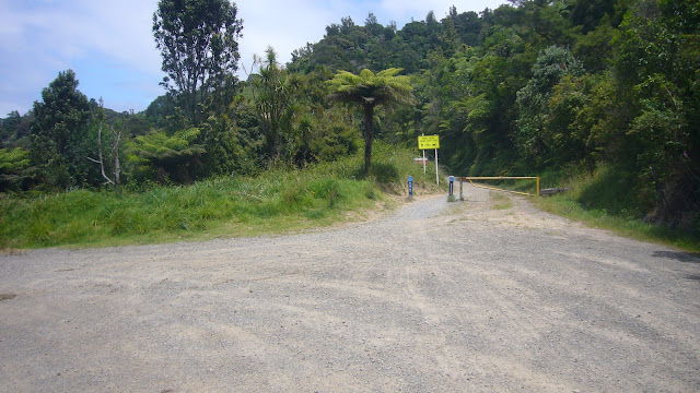
At the entrance to Ngāti Awa Farm the signs make it seem like this is the end of the trail (with the DO NOT ENTER). It is not obvious, but you go through the gate on the left to continue on the trail. From here you are on farm tracks for a few kilometres.
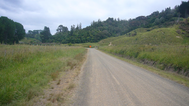
Evidence of a couple of slips that must have happened sometime in the past were along this next section.
At a gate on the road, a sign made it obvious that here you should turn around and head back the way you came.
I returned the way I'd come, back to the intersection of Maraetotara and Burma roads to walk the last 2km or so back up to the car. A few metres before finishing, I saw my third cyclist of the day.
I had completed 17.76km with 708m of elevation in 3 hours and 19 minutes, which was about 5.35km/hour. Not my fastest speed, but pretty good considering I've done little hiking recently.


Comments
Post a Comment