Lady Anne's Way 2015 Day 1
Saturday 10th October 2015
My fitness level was at a peak, after having spent a month and a half striding around the South West Coastal Path, and I headed out of the Skipton BnB with a spring in my step and looking forward to my first Northern England walking adventure. I wandered around town, taking a few pictures. I bought a couple of costly OS maps, thinking I had probably wasted my money (that was until I got lost a couple of times) and tried, unsuccessfully, to find somewhere to buy some lunch items. Never mind, I’m sure I’ll find something healthy to purchase along the way.
The first thing was to get to Skipton Castle, which was easy as I had scoped the lay of the land the previous night while trying to find somewhere to eat. I didn't pay to go in, and it wasn't even open yet anyway, but looked at it from the outside before finding the right lane to walk up to get out of town.
It was off into the wild, the great beyond,
the… Skipton golf course??
Okay, so after negotiating a few fairways and getting to the other side...
It was off into the wild, the great beyond … or more like, along the road.
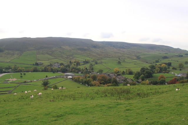
Along some country lanes and around the back of the village of Embsay, then through the countryside only to find myself blocked by Billy Bob’s Parlor ice cream manufacturing outlet in the middle of nowhere. I couldn’t find the path, so ended up legging it down their driveway to the lane, then wandering along said lane in the wrong direction. I soon realised the error of my ways, did an about face, and walked along the road to the tiny village of Halton East, where I rejoined the trail proper. Out the other side of the village and a left through fields and up onto a high point where suddenly a vista opened before it. It was gorgeous. My camera does not have a panoramic function, and the view was too big for a single picture!
I descended the slope to join the narrow road, then followed that until I reached Barden Tower, the second of the buildings on this walk connected with Lady Anne. I took too many photos for such a ruin, but only include the best of them here.
I then headed down to the river and crossed the bridge to find an ice cream truck, where I purchased the “healthy” lunch I had looked forward to.
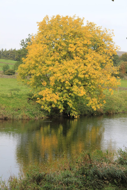
The riverside walking from here to Burnsall was, naturally, flat, which led to some brisk walking, and (as you will also see tomorrow) included many riverside views.
In no time at all did I arrive at Burnsall or, more correctly, just
before Burnsall, as the Lady Anne’s Way left the road just before crossing over
the bridge and headed directly up a rather steep field, then through farmland
to Hebden, where it crossed a road and kept to the higher land all the way to
Grassington.
Unfortunately, somewhere in here I took a wrong turn. According to the guidebook I needed to turn right after passing into a line of trees, walk for a ways and then turn left, at which point I lost all signs of a path, exited the trees above a driveway (that steeply crossed on a diagonal in front of me up to a house), and found myself facing a stone fence without any way to cross. My faded memory (it's been over 4 years!) dredges up some clambering over numerous stone fences and randomly going through fields until I finally climbed up and over into a farm lane bordered by stone walls. I realised, this farm lane was where I was supposed to have been walking all along. Even my OS map hadn’t helped me here, or more to the point, my inability at reading maps hadn’t.
I found my way down through Grassington, and finally to my B&B, which was across the river, technically, in Threshfield. Getting a recommendation for a reasonably priced pub further up the road, I headed there only to find the mains started at £12.50. Considering my budget for this holiday was £15 for evening meals, this wouldn’t leave enough for a cider. Luckily, I had saved a couple of quid by only having that ice cream for lunch!


Comments
Post a Comment