Onepu Mountain Bike Park walking trail 5km
Although Onepu Mountain Bike Park is, obviously, for mountain bike riding, it does have a few trails that are dual use, meaning they can be hiked. The park is located on State Highway 30 between Te Teko and Rotoma. I wandered out there yesterday and walked the Ridge trail, most of the Oh Maimai trail, and through the wetland.
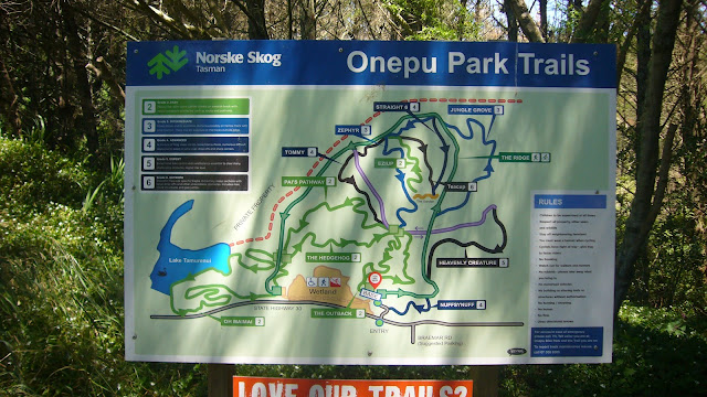
There are two entrances to the park. The one shown at the bottom of the map (a few photos down, but note that North in that map is almost directly downward) is alongside the road and is the mountain bike entrance (which is where I started), but I discovered there is another entrance that is at the very East end of the park, that has a better car park off the road, which would likely be a better place to start.
I set my Hiiker app to record the hike, but it took a while to connect to the satellites, and it missed the first couple of hundred metres of the 5km, and a few of the 121 metres of elevation, that I walked.
I set out heading up a gradual gradient from the mountain bike entrance until I reached an intersection of paths where there was a "You are here" sign. This is the point at which my Hiiker app decided to connect to the satellites and begin recording my hike.
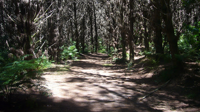
Turning right put me on the reasonably wide Ridge Trail, which at this point was not actually on a ridge, and initially took me alongside the edge of the park. At various points the Ridge Trail intersected with the beginnings, or endings, of some of the mountain bike trails. At least one of those trails along here was dual use, so I could have taken a short detour if I so desired. It was relatively flat going along this section.
Eventually the track opened up to reveal an undulating area for bikes called the Sandpit. Just beyond this point the track began to ascend.
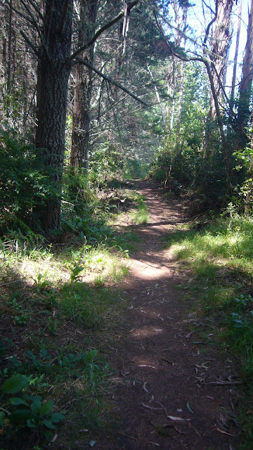
After having walked for about 1.5km, the trail veered sharply to the left and became quite narrow. After another 500m it became quite overgrown.
At about the 3km point, I took the Oh Maimai trail, which descended for a while until it ran along the edge of Lake Tamurenui, although the foliage was so dense the lake was not visible for most of this section. Just before the trail veered away from the lake, the foliage opened up slightly where a maimai (blind) was located and a few black swans were hanging about.
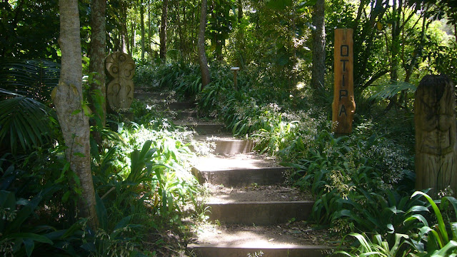
Shortly after this, the trail connected with the Eastern entrance and car park, and here I had a choice as to whether to remain on the Oh Maimai trail, or to take a walking track up a number of steps through the Otipa arboretum, an area littered with carvings. I chose the latter.
There was a nice view out over the lake with a bench, although I did not stop other than to take a photograph.
At a crossroads of paths, I took a right to follow a walking track down to, and through, the wetland area.
In the wetland area the paths split and meandered in different directions. Without a sense of direction, you might temporarily get lost in this area. Somehow I made a, wandering but direct, route though and back to where I'd parked. During my time there, the park was mostly empty, I only saw a mother with 2 children cycling at the Sandpit area, and a worker and his dog at the point that the Ridge Trail veered left and narrowed, but admittedly it was between 1 and 2 p.m on a Thursday afternoon, so it might be busier after school is over and on the weekends.


Comments
Post a Comment