Kawerau: Monika Lanham Reserve - Perimeter Walk

Earlier in the week I did a second lunchtime walk in Kawerau, which was slightly bitter sweet. I like to find new walks to do without having to drive out of my way (as I want to reduce my carbon footprint as much as possible in the circumstance), and I’ve found a few here in Kawerau, but by doing another one there are now fewer unexplored walks for me to do.
Today’s walk was in the Monika Lanham Reserve. I chose to do the Perimeter Walk first, thinking it would be very flat and mostly along roads – I was partly right. This walk is a bit under 3.5km, has a total ascent of 155 metres, and took me around 43 minutes to complete.
I started at the corners of Glasgow and Plunket streets (but as the walk is circular, there are many places you could start/end it), and headed diagonally away, southward, from the intersection toward the thermal area. I continued south between said thermal area and the back of the Recreation Hall in a direct line to the Rautahi Marae.

Just before the marae a sharp turn left took me out to Onslow Street. A right onto Onslow and a hundred metres of so of roadside walking until I turned right again into Savage Street, a short cul-de-sac. In here, slightly veering left is a property-length access-way between the houses that led into the reserve, and toward the school grounds.


Here I kept to the edge of the bush line as I walked across the grassed area, until I came to an interesting looking stepped stile at the right.

Over the stile was a map (see top of post) on a signboard that showed the same walking routes as the brochure, available online. Past the sign and a few metres uphill, I turned left and found where the perimeter track continued, initially in a southerly direction. It became apparent that this particular route would not be flat at all as I made my way toward the top. The track kept curving right, eventually causing me to be heading northward.


 |
| Keep left at this intersection |


Once I had pretty much reached maximum altitude, I continued on, eventually coming across a mobile phone tower and a track that curved of to the left, down and back. I briefly explored that track and quickly realised that it was not the correct direction, so I turned away from the tower and in toward another stile over a fence beside a gate.


After crossing the stile the perimeter walk turns sharp left, after which it goes through some undulations before arriving at an intersection of numerous tracks, both walking and vehicle.


At this junction, the perimeter track turns left onto the vehicle track that curves in a westerly direction downhill. At the bottom, just before the houses, you need to turn right onto the somewhat muddy access way that runs along the backs of the properties.


 | |
| Turn right here | |


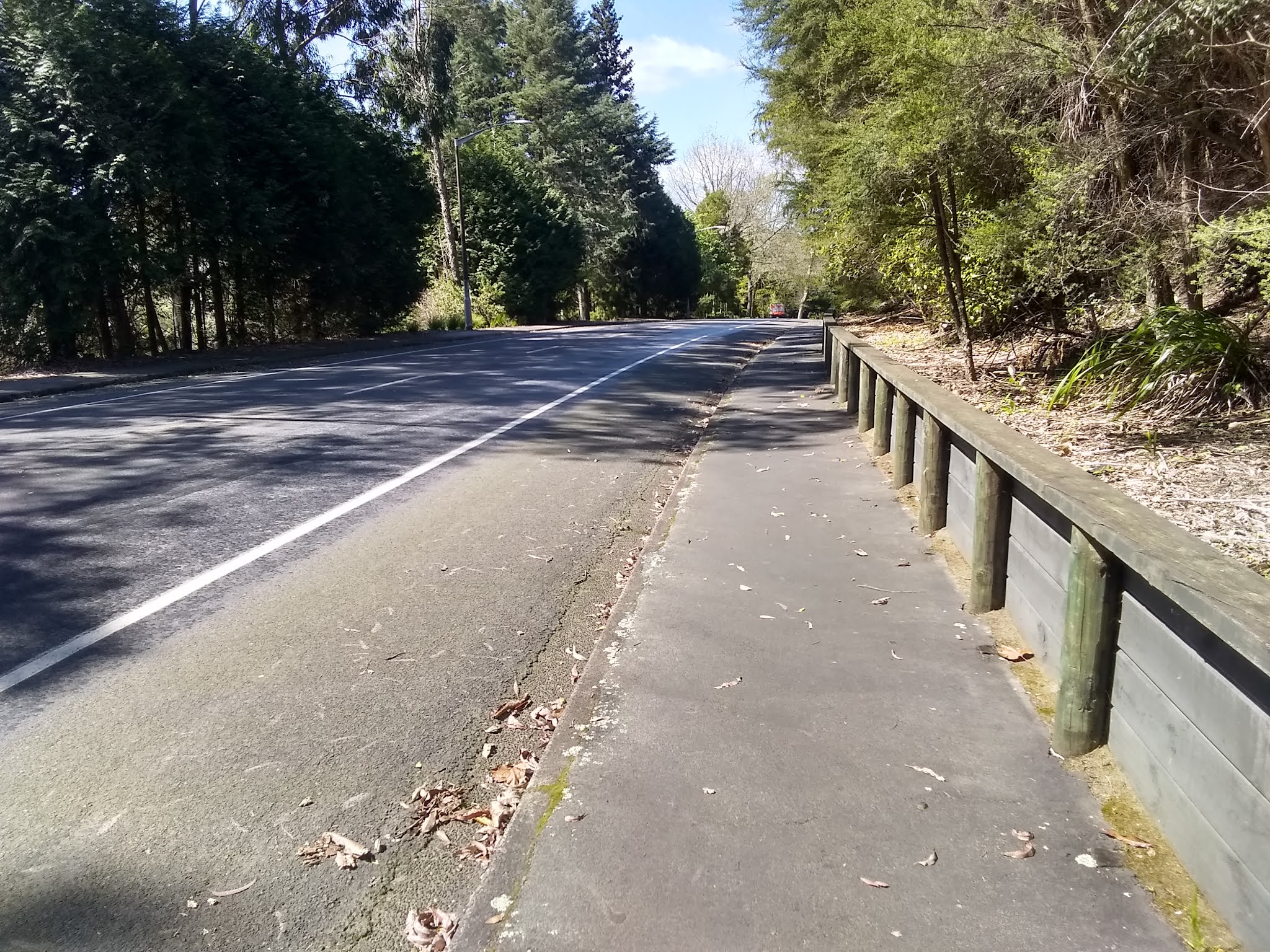
The far end of this track ends at Fenton Mills Road. A right here along the footpath returns us to some road walking that is gently downhill. Right across the road is access to the Stoneham Walk I did two days ago.


Comments
Post a Comment